Mapping

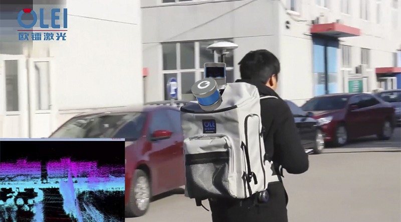
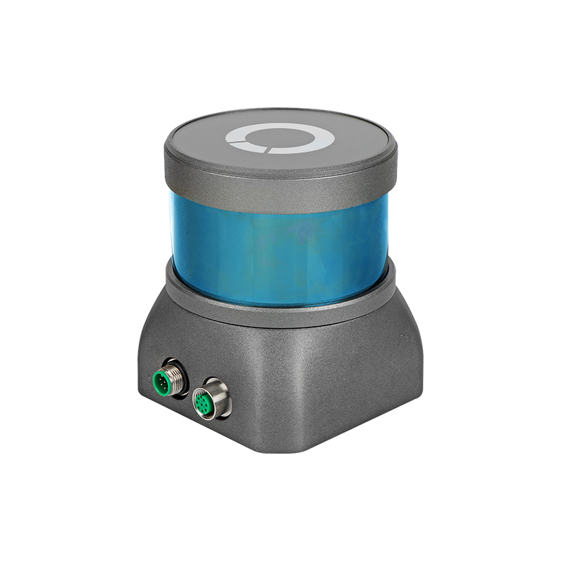
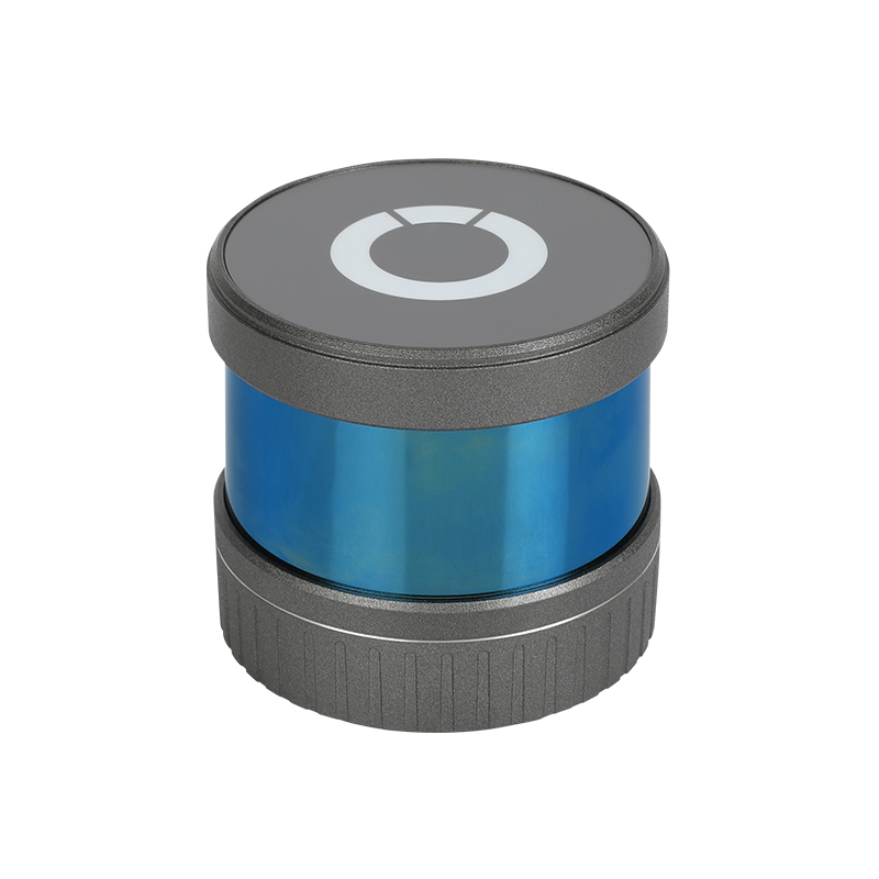
The backpack mobile mapping system is generally composed of a horizontal/tilted LiDAR, Digital camera, GPS, IMU, and controller, and can be moved on operator’s shoulders. The surveying device is based on the 3D SLAM technology for mobile modeling.
The human operator carrying a mobile mapping device walks through the area to survey and collect data during the walking, then the controller performs arithmetic high-precision 3D modeling through algorithm operation processing.
Mobile backpacks are widely used in mapping applications because of its convenience and simplicity. It has minimum space and location limitations compared with a vehicle, and can be used to survey the surrounding environment as long as people can walk. At the same time, through the mobile devices such as handheld tablets, the operator can view the 3D point cloud model of the surrounding environment in real time, providing a complete solution for fast, flexible and efficient integrated 3D high-precision map mobile measurement.


